Geospatial Technology for Climate-Smart Agriculture STARTING From July 10 – July 14, 2023
About the Program:
Climate-smart agriculture (CSA) is an integrated approach to managing landscapes—cropland, livestock, forests and fisheries–that address the interlinked challenges of food security and climate change (World bank, IBRD-IDA). The food security will become more difficult with growing population of world, thus CSA is need of hour to brain-storm and implement through policy making and strategy planning.
Curriculum:
The topic and schedule of each course is as follows:
- Space and Geo-informatics for Climate Smart Agriculture- An Overview
- Earth Observation for Agricultural Monitoring & Food Security Assessment
- Geospatial Technology for Agro-climate Risk Assessment and Climate-Resilient Agriculture
Geospatial Inputs for Agricultural Drought Monitoring and Vulnerability Assessment - Crop Water, Water Stress & Irrigation Water Requirement Studies using Earth Observations and
Geospatial Technology
Who can Apply?
This course is designed for professionals from Central/State Govt./Private Organizations/NGO/Students & researchers engaged in Agricultural Sciences/Agricultural Engineering/Environmental Science/Information Technology/Climate Change Studies/Meteorology/Climatology/Applications of participants have to be duly sponsored by university/institute and forwarded through coordinators from respective centres.
Certification: Working Professionals and Students will get certificate Based on 70% attendance.
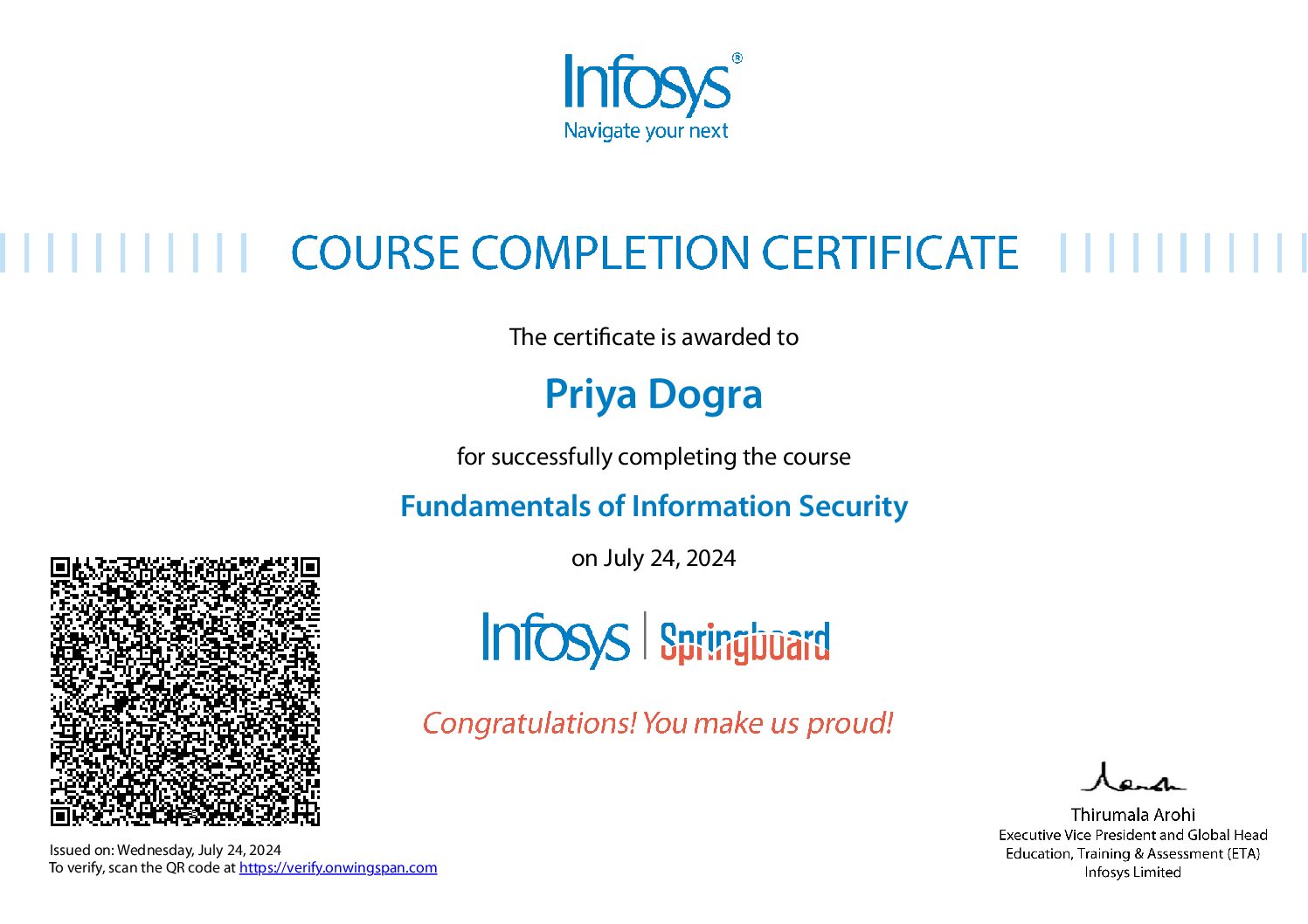
 Priya Dogra – Certification | Jobs | Internships


