ISRO Offers 5 Days Free certification Course on GEO Processing with Python – Application Open Now
About the Course:
Today large amount of satellite imagery and geospatial data collected from different sources is available at free of cost. Satellite imagery combined with power of Geographic information System can be a great tool for supporting environmental management, disasters, global climate change, natural resources, wildlife, land cover and many other applications.
Processing this vast amount of data in time and space efficient manner and deriving useful information and knowledge from data is one of the most challenging aspect of geospatial technology.
They invite you to attend this training program on Geoprocessing and visualization on web platforms. The course is scheduled from January 15-19, 2024.
Curriculum:
- Overview of GIS and different geospatial data types
- Overview to Python programming using
- Raster data processing, resampling and analysis
- Vector data processing and analysis
- Familiarization to various open source geospatial data processing libraries e.g. GDAL, Geopandas etc
Pre Requisites:
- Knowledge of Basics of Remote Sensing and GIS
- Basic knowledge of computer programming
Fees: There is no course fee for attending this programme.
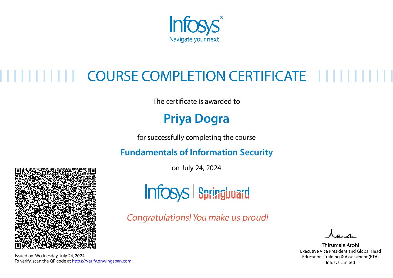
Award of Certificate: Working Professionals and Students: Based on 70% attendance
 Priya Dogra – Certification | Jobs | Internships


